A potentially devastating hurricane, named Melissa, is poised to hit the Caribbean, particularly Jamaica, with catastrophic flooding expected. Melissa, now a Category 4 hurricane, has intensified with sustained winds reaching 145mph (230kph) and a westward movement at 5mph (7kph) as of late Sunday.
Forecasts indicate that Melissa could escalate to a Category 5 hurricane with winds exceeding 157mph (250kph) by Monday night as it changes course towards Jamaica. By midday Tuesday, Melissa is projected to make landfall in Jamaica with wind speeds of up to 160mph (257kph), making it one of the most potent hurricanes to ever strike the Caribbean nation.
Prior to Melissa, the most powerful hurricane to hit Jamaica in recent decades was Hurricane Gilbert in 1988, which brought winds of 130mph. Melissa is expected to pass near or over Jamaica before heading towards Cuba and then the southeastern Bahamas by Wednesday, according to the US National Hurricane Center.
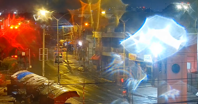
The hurricane is predicted to bring heavy rainfall of up to 30 inches (76 centimeters) in Jamaica and southern Hispaniola, with some areas expecting as much as 40 inches (1 meter) of rain. As Jamaica prepares for the impact, a live stream video has been established on YouTube to monitor the situation in Kingston, featuring the iconic clock tower and bustling street traffic.
Jamaica faces multiple threats from Melissa, including extreme rainfall and flooding, damaging winds, and dangerous storm surges. The storm is anticipated to reach the island early Tuesday, with heavy rains already affecting Jamaica from Sunday. Residents have been urged to seek shelter immediately due to the potential for catastrophic flash floods, landslides, and devastating winds.
The heavy rainfall is expected to persist for several days, posing significant risks to life and property. Meanwhile, Haiti continues to grapple with the aftermath of Melissa’s flooding and landslide dangers.

