
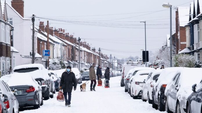
Parts of the United Kingdom should brace for periods of sleet and snow this upcoming weekend, as warned by the Met Office, due to a sharp drop in temperatures caused by a cold Arctic blast moving in.
Meteorologists predict that the cold front trailing Storm Benjamin will pull frigid air from the north, creating raw and chilly conditions across much of the country. The Met Office advises residents in elevated areas to be prepared for wintry weather as the cold spell grips the UK.
Temperatures are set to decrease significantly over the next few days, increasing the likelihood of sleet and snow, particularly in the Scottish Highlands and Grampians.
The Met Office highlighted that the freezing level is expected to lower, especially in Scotland, to approximately 450 meters above sea level. This decrease raises the chance of sleet and snow in the Scottish Highlands and Grampians. In southern regions, the risk is lower, but isolated frost patches may form where skies clear and winds calm.
According to the Met Office’s weather maps, snow flurries are projected to sweep across northern Scotland on Saturday, with some scattered snow showers lingering into Sunday. While the brunt of the wintry conditions is anticipated in high-altitude areas, forecasters caution that Saturday will be cold nationwide, with potential frost even in urban areas.
The Met Office assures that the snow and sleet are not expected to be heavy or disruptive, deeming these conditions typical for late October. Nevertheless, individuals venturing into hilly terrains should remain prepared.
Temperatures will persist below average, struggling to rise above single digits in many regions. Expected highs are approximately 11°C in England, 10°C in Wales, 8°C in Scotland, and 7°C in Northern Ireland on Saturday, October 25, with little change foreseen the following day.
“Considering the wind factor, especially in northern and eastern Scotland, it will feel even colder,” stated the Met Office.

